Briefing note
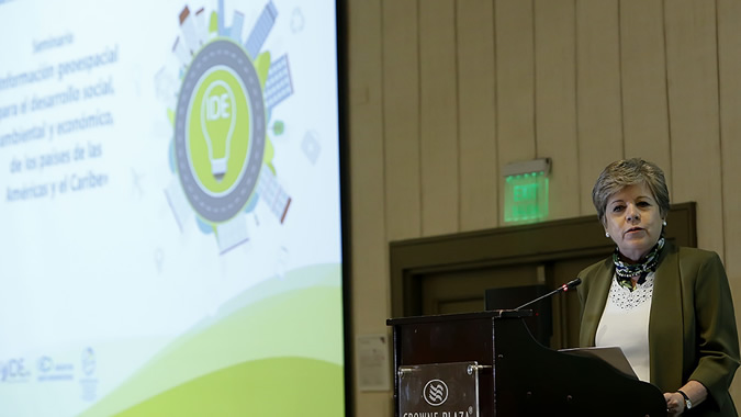
The Executive Secretary of the Economic Commission for Latin America and the Caribbean (ECLAC), Alicia Bárcena, advocated today at a gathering in Santiago, Chile for boosting the use of geospatial information in the implementation and follow-up of the 2030 Agenda for Sustainable Development, since it is a tool that allows for identifying the territories in which critical deficiencies exist and for designing evidence-based public policies.
Alicia Bárcena participated in the opening session of a seminar on Geospatial Information for the Social, Environmental and Economic Development of the Countries of the Americas and the Caribbean, which is being held from April 3-5 and is organized jointly by the Government of Chile and the United Nations Regional Committee on Global Geospatial Information Management for the Americas (UN-GGIM Americas).
Other speakers at the event’s inauguration included Chile’s Minister of National Assets, Nivia Palma; Chile’s Undersecretary for Foreign Affairs, Edgardo Riveros; the Secretary General of the Association of Caribbean States (ACS), June Soomer; and Rolando Ocampo, Co-Chair of UN-GGIM, President of UN-GGIM Americas and Vice President of Geographical and Environmental Information at Mexico’s National Institute of Statistics and Geography (INEGI).
Also present was Barbara J. Ryan, the Secretariat Director of the Group on Earth Observations (GEO), an international organization headquartered in Geneva, Switzerland.
“To improve the sustainability of development, it is urgent that we be able to take actions to the territories. We must be capable of understanding where the marginalization is occurring, the hunger, the inequality, the environmental deterioration or the migratory movements,” ECLAC’s most senior representative indicated, adding that geospatial information can be applied, for example, to comprehensive risk management.
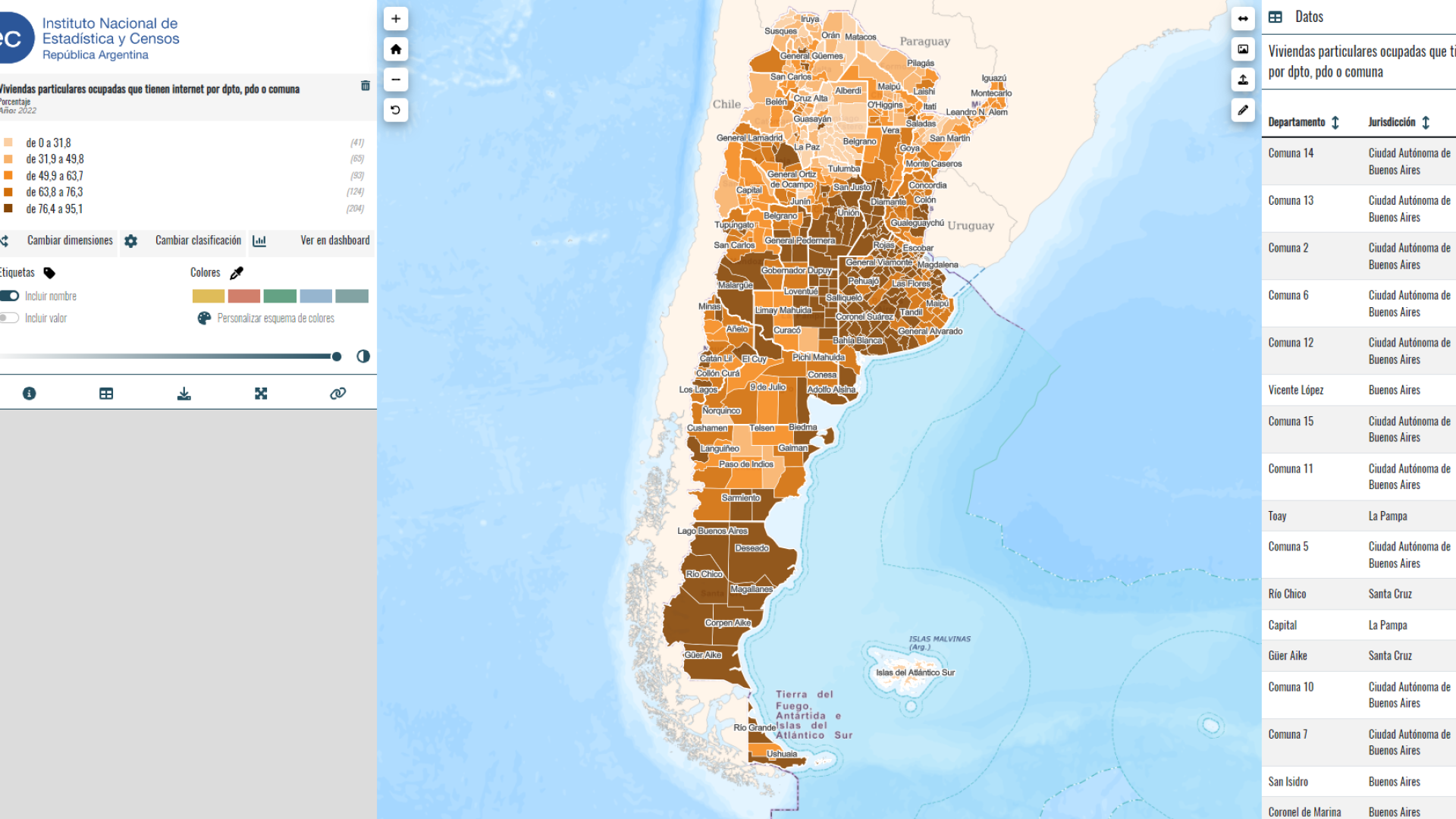
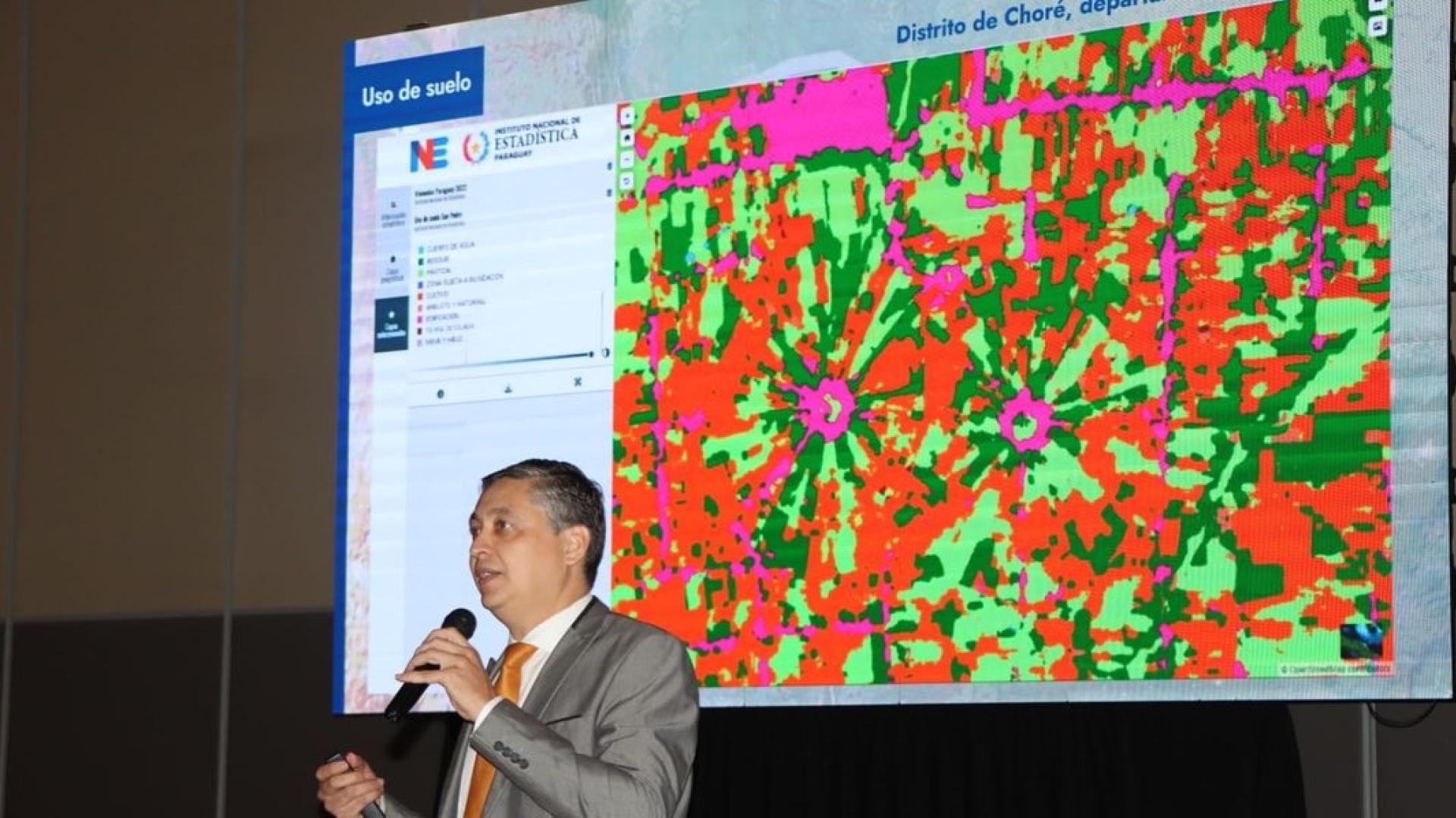
As she explained, traditional statistical data, produced based on sources such as population censuses, household surveys or administrative records, can be georeferenced and later utilized to create thematic maps or generate geographic information systems (GIS) that enable decision-makers to design evidence-based public policies.
Alicia Bárcena indicated that the United Nations (UN) has recognized the importance of geospatial information, where statistics and geography converge, by creating a committee of experts on this matter, the UN-GGIM, which currently brings together representatives of more than 100 countries and members of diverse international organizations.
This seminar, taking place in a hotel in the Chilean capital, coincides with the sixteenth meeting of the Executive Committee of the Statistical Conference of the Americas, an intergovernmental subsidiary body of ECLAC that gathers together the heads of national statistical institutes from the Western hemisphere countries. This meeting is taking place on April 4-6 at the headquarters of the United Nations regional commission, also in Santiago.
In the framework of that meeting, the first meeting between representatives of member countries of the Statistical Conference of the Americas (SCA) and members of the UN-GGIM Americas will take place, on April 5, and the Executive Secretary invited those present at the seminar to attend.
Alicia Bárcena also encouraged the SCA and the UN-GGIM Americas to present a joint vision regarding the relationship between geospatial information and the Sustainable Development Goals (SDGs) at the Forum of the Countries of Latin America and the Caribbean on Sustainable Development, the regional mechanism for follow-up to the 2030 Agenda, which will hold its first meeting in Mexico City on April 26-28.
Furthermore, she invited the region’s countries to give concrete examples of the existing correlation between geography and statistics, linked as well to the analysis of the SDG indicators, during the presentation of voluntary reviews that 11 of them will carry out before the High-level Political Forum on Sustainable Development, the global mechanism for follow-up to the 2030 Agenda, which will hold sessions again in New York next July.


